Coastal Management in Belize
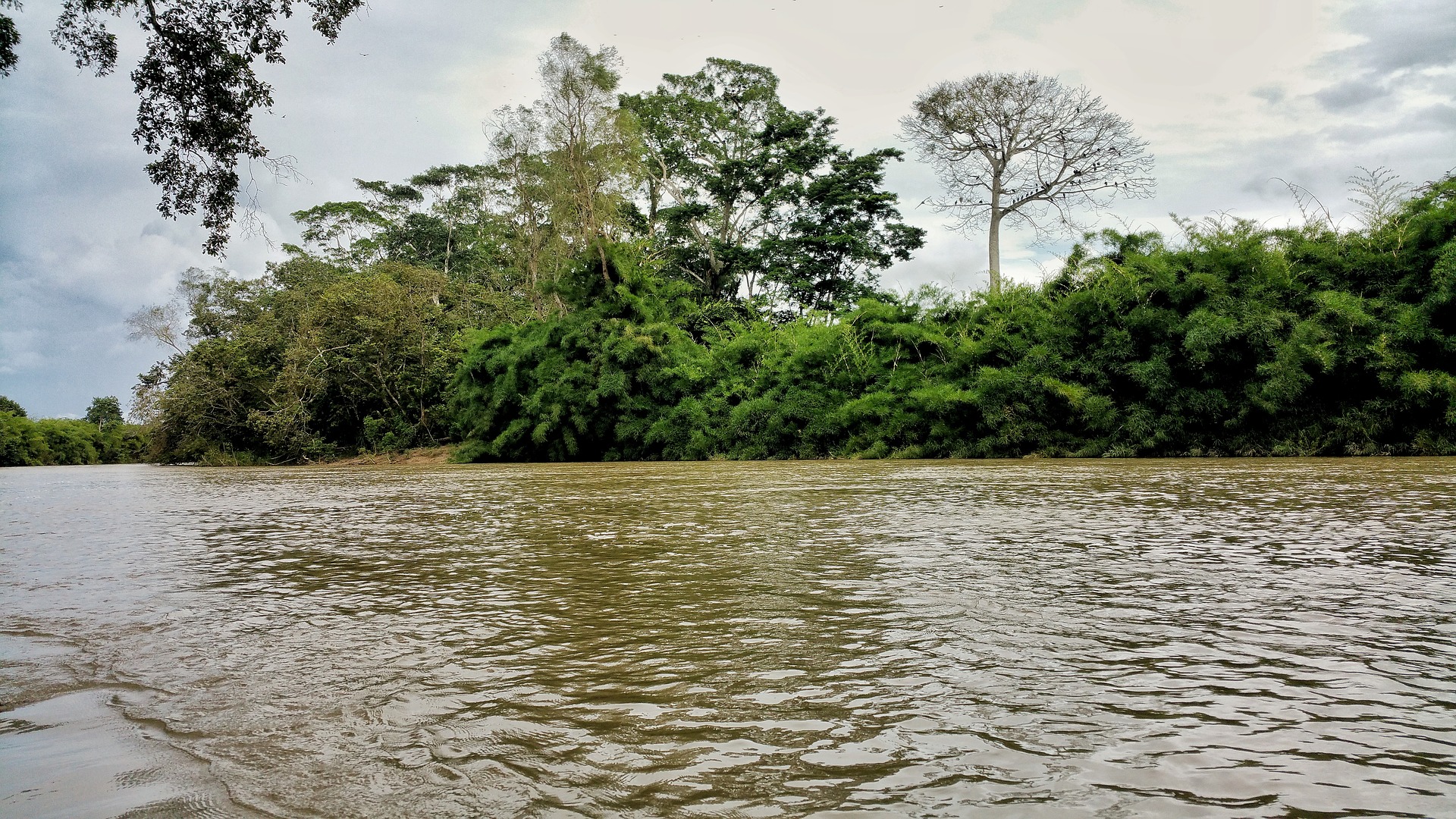
The country of Belize is a perfect case study for marine coastal management with a 280-km coastline and heavy dependence on the ocean for its fishing and tourism. The Belize Barrier Reef is 300 kilometers long and forms a part of the Mesoamerican Barrier Reef System, which is the second largest coral reef system in the world. The reef contains a variety of critical coastal ecosystems ranging from coral reefs to sea grass beds, from extensive mangrove and littoral forests to coastal lagoons and estuaries. These habitats are essential to a variety of organisms. Many rare and endangered species are found here.How Belize Approaches Coastal Management
Belize has adopted the concept of Marine Managed Areas (MMAs). MMAs are multiuse, ocean zones that typically differentiate several types of subareas with particular restrictions (e.g., no oil drilling), or areas dedicated to specific uses (e.g., fishing, diving). MMA’s attempt to spatially manage or exclude human activities from a defined section of habitat. In most contexts, MMAs are established with the strategic goal of conserving entire ecosystems and their services.
Developing Software to Help Model Environmental Interactions
The Marine Integrated Decision Analysis System (MIDAS) is a software tool that was developed to assist the MMA users and managers in Belize. Groups (such as fishers, tourism operators, and state environmental agencies) and the general public can use MIDAS to understand how and why various ecological, socioeconomic and governance conditions are so critical for positive outcomes. For example, the user can visualize the likely impact of fishing and coastal development on ecological sustainability. MIDAS is not designed to replace the decision-making process, but to provide an interface to perform a series of thought experiments or simulation. MIDAS includes spatial analysis features. Relevant information layers, such as MMA boundaries, key habitat types and land cover, are visualized using simple overlay functions. MIDAS was developed in open-source software architecture, and it’s initial, version 1.0 release was in 2010.
For more on this version of MIDAS, please see the resources section here.
Working with Key Stakeholders in Belize
An expert panel workshop was held in Belize in June 2010. Experts determined the present and near future (optimum and worst case) values for each of the three outcome indices – Governance, Socioeconomic (Livelihoods) , and Ecological. In the case of the present context, average value of experts’ opinion as well as the range was estimated for each index in each MMA.
Stakeholder Workshops in Belize: The composition of the three major indices (governance, socioeconomic and ecological) was determined with direct input from various stakeholders in Belize in 2010 at three locations – Belize City, Punta Gorda and Belmopan. A total of over 25 people participated in these workshops. The workshop participants also determined weights of specific CDFs pertinent for each index in the context of Belize MMAs.